


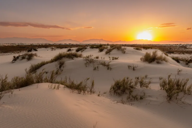

White Sands National Park
Plan a White Sands visit with dune sledding, marked walks and evening light. Check entrance fees, heat guidance, road closures and the closed Interdune Boardwalk.
Explore the guide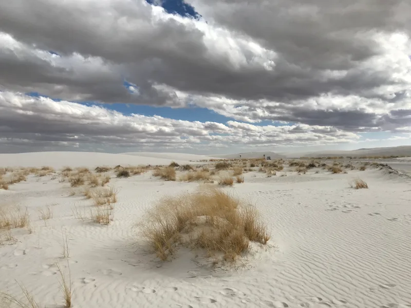
Tularosa Basin
Big dunes. A deliberate day on foot.
Hiroooooo · Wikimedia Commons · CC BY-SA 4.0Alkali Flat crosses steep, soft gypsum dunes to the edge of an ancient lakebed. NPS calls it strenuous. The current route is five miles out and back, so plan the return before you take the first dune.
The current NPS trail page replaces older loop descriptions.
Road access & closuresThe NPS trail page, updated July 24, 2026, replaces older loop descriptions. Despite the name, the walk is continuously up and down dunes. Allow extra time beyond the park’s three-hour average for rests and changing conditions. You do not need to reach the far end to have a worthwhile visit.
Find the next red diamond before moving onIf the next marker is out of sight, return along the marked route. Blowing sand and fallen posts can break the visible line.
Wind can erase footprints. Carry a park map and compass, stay together, and do not rely on GPS or phone service alone. Tell someone outside your group your route and expected return time.
These are NPS guidelines. There is no water, shade or toilet on the trail; fill up at the visitor center before driving in.
A cool morning is not a promise of a safe afternoon. Wear sun protection and adjust the plan before heat or dwindling supplies make the decision for you.
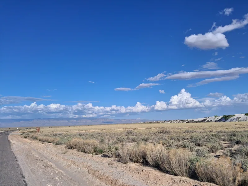
The trailhead is near the far end of Dunes Drive, about seven miles from the visitor center. A vault toilet is at the parking area; there are none along the hike.
Be off the trail by sunsetLeave the park before its posted closing time.
Check Dunes Drive hours and military-test closures before leaving town. A road closure prevents access to the trailhead.
Wind can sharply reduce visibility, and winter brings shorter days and cold conditions. Keep the same navigation and turnaround checks in every season.
The current NPS trail page describes a five-mile out-and-back: 2.5 miles each way. Older pages and maps may still call it a loop. Follow current signs and ranger guidance.
Strenuous. Soft sand and repeated dune climbs make the distance demanding. NPS lists an average completion time of three hours; give yourself extra margin.
NPS recommends at least one gallon per person per day. Fill up at the visitor center, and turn back when half your water is gone.
Do not continue into unmarked dunes. Return along the visible marked route. Wind can hide both posts and footprints.
NPS advises not starting a hike at 85°F (30°C) or above. Check the forecast and current temperature, and choose a shorter visit when conditions are unsuitable.
Plan a White Sands visit with dune sledding, marked walks and evening light. Check entrance fees, heat guidance, road closures and the closed Interdune Boardwalk.
Explore the guide
Connect White Sands and Carlsbad Caverns through Cloudcroft with a relaxed three-day itinerary, a two-day alternative, current park rules and official road checks.
Read the itineraryOfficial visitor information: Current NPS trail description, Hiking safety, Trail choices, Dunes Drive hours, Road closures.
Photography via Wikimedia Commons. Images resized and cropped for layout; individual credits and reuse licenses are listed below.
Guide details checked . Confirm current conditions before traveling.
