

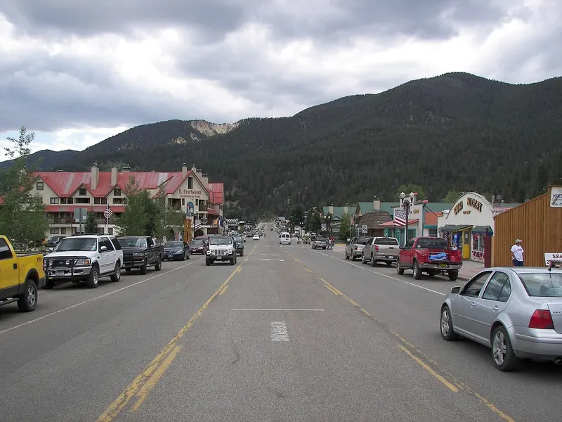

Red River Ski + Summer Area
Red River is a town-integrated, family-owned ski area with 285 acres, 64 trails, 1,600 feet of vertical, and lifts rising directly from a high-elevation Main Street community.
Explore the guide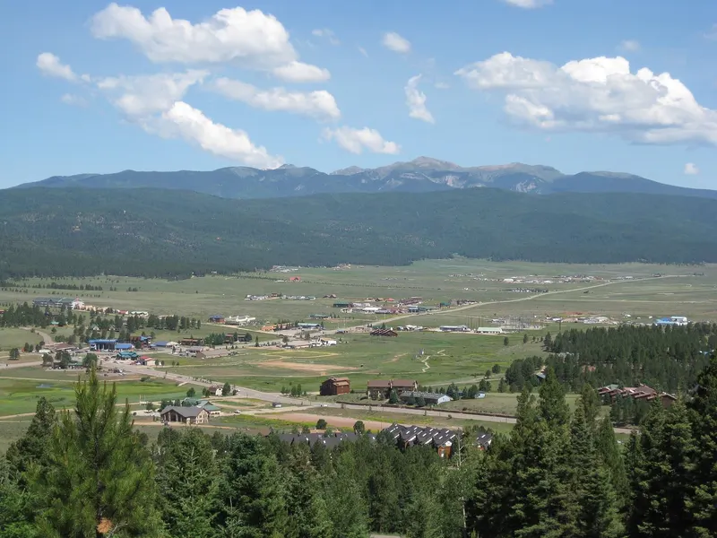
North-Central New Mexico
Angel Fire is a family-oriented Moreno Valley resort with 627 skiable acres, 96 trails, 2,123 feet of vertical, and a broad mix of beginner and intermediate terrain.
Davishan99 · Wikimedia Commons · CC BY-SA 3.0Angel Fire lists winter activities for December 11, 2026–March 21, 2027, subject to conditions. Night skiing will not be offered in winter 2026–27. Check the current operating report before traveling.
Official resort site ↗Angel Fire Resort rises from an 8,554-foot ski base in the Moreno Valley to a 10,677-foot summit. That produces 2,123 feet of vertical across 627 skiable acres. The official mountain-statistics page lists 96 trails and eight lifts, including a high-speed six-pack, quads, doubles, and two Sunkid Wondercarpets.
The terrain breakdown is 23% easier, 48% more difficult, 25% most difficult, and 4% extra caution. For the summary panel, the last two categories are combined as 29% advanced and extra-caution terrain. Nearly half the mountain sits in the intermediate category, while the beginner network includes Heading Home, a signature run extending more than 3.5 miles. Snowmaking covers 52% of the mountain and 85% of beginner terrain. Average annual snowfall is 210 inches.
The mountain-statistics page lists three terrain parks (Liberation, Sweet Street, and Tank 9) and six glade areas totaling 40 acres. Check the current trail report for which features are available on your visit.
Angel Fire will not offer night skiing in winter 2026–27. Plan the ski portion of your trip around daytime operations.
Elevation difference: 2,123 ft.
Data: resort statistics as cited on this page. CDC notes altitude illness can occur around 8,000 ft and sometimes lower.
Checked .
Angel Fire is in the Moreno Valley, with Wheeler Peak nearby. The Village of Angel Fire describes the community as about half an hour east of Taos. The resort publishes broader estimates of about three hours from Albuquerque and one and a half hours from Santa Fe. Those are planning references rather than winter guarantees.
The road approach crosses US-64 over Palo Flechado Pass and turns onto NM-434 into Angel Fire. Neither the resort nor the village publishes a universal chain or four-wheel-drive requirement. Travelers should not invent one; they should check NMRoads or the state’s Roads Advisory Hotline at 800-432-4269 for current conditions.
Angel Fire Airport is three miles from the resort. The resort travel pages identify Albuquerque, Santa Fe, and Taos airports as the commercial options, without transfer schedules or promised connections. Anyone flying should arrange the ground segment separately and account for the mountain road.
Angel Fire Resort
Planning location: 36.380°, -105.243°. Confirm the entrance and current access before traveling.
Open the location map ↗Coordinate: OpenStreetMap: Angel Fire Resort
Checked .
The resort lists winter activities from December 11, 2026 through March 21, 2027. These are planned dates; weather, snow and operating conditions determine actual access. Check the resort’s current report before booking or traveling.
The mountain-statistics page lists daytime lift hours of 9 a.m. to 4 p.m. Check the daily report for changes and individual lift availability. Night skiing will not operate in winter 2026–27.
Lift tickets use variable pricing. The resort’s ticket page says booking three or more calendar days ahead unlocks Advance Purchase pricing, so buy once the trip dates are fixed. Tickets load onto a reusable Access Card with a one-time $5 media fee; a ticket bought less than three days out can be collected from a pickup box on arrival.
Snowmaking across most beginner terrain can support early-season learning areas, but 52% mountain coverage is not a promise that half the terrain will always be open. Natural snowfall, temperature, grooming, and lift operations still determine the usable mountain on a particular day.
Taos Ski Valley has 3,131 feet of vertical, 1,294 acres, and 13 lifts. Angel Fire has 2,123 feet of vertical, 627 acres, and eight lifts. Taos is the larger mountain by those figures.
Angel Fire has 23% easier terrain, 48% intermediate terrain, and snowmaking across 85% of beginner terrain. Taos offers a larger mountain and more vertical, while Angel Fire has a broad choice of beginner and intermediate runs. Choose around your group’s ability, lessons and lodging needs, and current conditions.
Angel Fire Resort winter season-pass page, checked September 29, 2026
Checked .
Angel Fire began in 1966 and presents itself as a relaxed, family-friendly resort with wide-open terrain and short lift lines. The facts supporting that family character include carpets, a long beginner trail, a four-lane tubing hill, and a Nordic Center with more than 12 kilometers of groomed classic and skate terrain. Snowshoeing is allowed there, and a sledding hill is reserved for children 12 and younger. Each activity has its own conditions and schedule.
The Lodge at Angel Fire Resort has more than 100 rooms and is described by the resort as the only hotel directly next to the ski lifts. That can remove a daily road segment, but this guide does not infer package inclusions or availability. Angel Fire sells its own age-tiered passes and provides a military discount; check current eligibility with the resort. Qualifying passholders also receive Powder Alliance benefits: three non-transferable tickets at partner resorts, with blackout dates. Check the partner list and terms for your travel season.
One nearby stop is the Angel Fire Vietnam Veterans Memorial, operated by the New Mexico Department of Veterans Services since 2017. It is not a state park. The department describes it as the first major memorial created to honor Vietnam War veterans and notes its congressional recognition as a memorial of national significance. The site includes a visitor center and Huey display. It is a separate destination from the resort and should be planned on its own current hours.
Data: the resort’s own published terrain breakdown
Checked .
No. The resort says it will not offer night skiing in winter 2026–27. Plan for daytime skiing and check the current lift and trail report before traveling.
The resort says lift ticket prices are variable and recommends buying online once travel plans are set. Booking three or more calendar days ahead unlocks Advance Purchase pricing. Tickets load onto a reusable Access Card with a one-time $5 media fee, and tickets bought less than three days out can be collected from pickup boxes.
The official mix is 23% easier terrain, 48% more difficult, 25% most difficult, and 4% extra caution. The resort also says snowmaking covers 85% of beginner terrain, and its Heading Home beginner run extends more than 3.5 miles.
The Village of Angel Fire describes itself as about half an hour east of Taos. The route uses US-64 over Palo Flechado Pass, so current road conditions can change the trip.
Yes. The resort says qualifying passholders receive three non-transferable tickets at participating Powder Alliance resorts, with blackout dates. Partner terms are volatile and should be checked for the travel season.
The resort describes The Lodge at Angel Fire Resort as the only hotel directly next to its ski lifts and says it has more than 100 rooms. Current room and package availability should be checked with the resort.
Taos Ski Valley has 3,131 feet of vertical, 1,294 acres, and 13 lifts. Angel Fire has 2,123 feet of vertical, 627 acres, and eight lifts, with 23% easier and 48% intermediate terrain. Taos offers a larger mountain and more vertical; Angel Fire has a broad mix of beginner and intermediate runs. Choose around your group's ability and current conditions.
Red River is a town-integrated, family-owned ski area with 285 acres, 64 trails, 1,600 feet of vertical, and lifts rising directly from a high-elevation Main Street community.
Explore the guide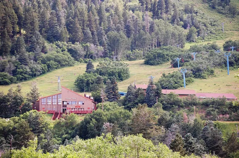
Sandia Peak is a rebuilding Albuquerque-area ski operation whose 2025–26 season lasted only about five weeks; verify current ski-area status separately from the year-round Sandia Peak Tramway.
Explore the guideSipapu is a 215-acre, family-oriented ski area on NM-518 near Vadito, with 43 named trails, 1,055 feet of vertical, and a season whose early-opening reputation still depends on weather.
Explore the guideOfficial visitor information: Angel Fire Resort mountain statistics, Angel Fire Resort 2026–27 season passes and operating information, Angel Fire Resort lift tickets, Village of Angel Fire community profile, New Mexico Department of Veterans Services memorials, NMRoads official New Mexico road advisories.
Photography via Wikimedia Commons. Images resized and cropped for layout; individual credits and reuse licenses are listed below.
Guide details checked . Confirm current conditions before traveling.
